
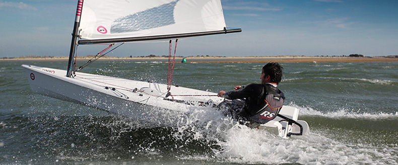
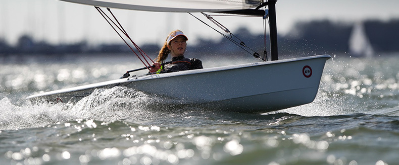
Welcome to the International Class Association website for the RS Aero. Here you will find all there is to know about the RS Aero including the latest news, how to register your boat, and links to relevant documents.

| Home >> Top Tips >> TopTip2020 #32- The Met - by Richard Watsham, GBR |
 TopTip 2020 #32
The Met
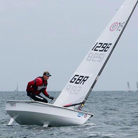
by Richard Watsham, GBR
Richard Watsham is our first RS Aero 9 European Champion. In fact with Greg Bartlett the next winner and also from Starcross Yacht Club, Devon the title has never left the county, it must be something in the water there - or maybe those famous cream teas! As our Class weather expert, Richard is always a popular man in the boat park before racing especially when you are struggling to make a last minute decision on which rig to use!
You can’t change the weather, if its going to be windy, its going to be windy! However a good understanding of the forecast and how to observe the weather can help you plan your sail from the basics of what wet gear to throw in your kit bag, all the way to more advanced concepts of planning your attack for the first beat.
 Apps and websites
With lots of apps, websites and computer programmes to look at, each often providing multiple weather models to select, trying to understand how to get an accurate forecast can seem daunting. As with most things if you apply the KISS principle (Keep It Simple Stupid) you can’t go far wrong. That being said, it always pays to understand some of the basics of meteorology to avoid easy pitfalls in your planning.
When you are forecasting before an event, know what data you are looking at. Most websites and apps will be fine at giving you a rough idea of temperature and if its going to be a light or heavy weather day, but if you want to know what the wind speed throughout the day will be to the nearest 5 knots, the wind direction or if its going to be gusty, then there are some easy gains to be made by understanding the source data.
Take Windy.com, did you know there are often up to four different models available depending on your location? Not all models have the same resolution, or are tuned for the type of terrain you are sailing near or on (for example mountains, land or sea). This app and website provide options for comparing the models and basic descriptions of where the model is most suitable. As a rule make sure you use a model that is appropriate for your location and at the best horizontal resolution. If the Solent is 4 – 8km wide, using a model with a resolution of 16km means that model could see the Isle of Wight as part of the mainland, this is no good if you are blasting backwards and forwards from Lee-on-Solent or Lymington.
Don’t dismiss simple apps from national centres of excellence. In the UK the Met Office app may seem simple compared to windguru or windy.com but it uses consistently the best performing data. The UK Met Office app provides you with a high temporal resolution and source data with a good horizontal resolution (for the UK). This could easily tell you roughly what time the wind veer will occur under the front, and help you prepare to shift your plan between race two and three.
Understand the simple principles of weather forecasting from observations on the race course. On a hot sunny day, what does the line of cumulus cloud building over the land mean? Could it be that a sea breeze is about to kick in? So what does this mean for your race strategy? If you see dark shower bearing clouds heading towards the race area, could this be the onset of more unstable gusty conditions? How will this affect your boat’s set up or your approach to the second beat? Don’t forget to look up, as some good hints on strategy come from clouds!
Ask the locals, The RS Aero Class is a truly global family, with great opportunities to race all over the world. While I doubt that the home crowd will give all the secrets away, there may be good information to be gleamed about typical local phenomena such as valleys funnelling wind or regular thermally driven events at specific times of the year.
Finally, don’t forget about the weather and its interactions with the water you are floating on. When will the tide change? Wind against tide can significantly alter the size and shape of waves. You will need to start to change your trim. You may choose a different side of the channel to help you get into flatter water. If you are racing on an estuary or near a river mouth and there has been a great deal of rain over recent days, this could change the speed of the current, increasing the perceived ebb and reducing the flood. The time the surface current changes direction may be slightly different to the time in the almanac.
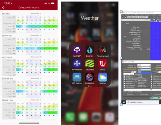
Whilst we all sit at home waiting patiently to get back on the water here are some suggested apps (see image) and a couple of excellent books on weather forecasting for sailing (remember to get the appropriate edition for your hemisphere):RYA Weather Handbook - Chris Tibbs
Wind Strategy - David Houghton and Fiona Campbell '
Reply

26/04/2020 19:50:00
Peter Barton
Posts: 4660